natur.BANK.wege | Reichraming | Moarhof | 446203


- Suitable for families
Interactive elevation profile
Create PDF
Tour-Details
Starting place: 4462 Reichraming
Destination: 4462 Reichraming
duration: 0h 19m
length: 1,2 km
Altitude difference (uphill): 54m
Altitude difference (downhill): 1m
Lowest point: 349m
Highest point: 402m
difficulty: easy
condition: easy
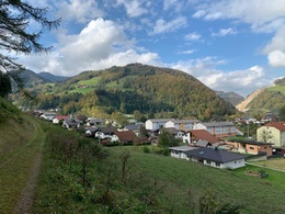
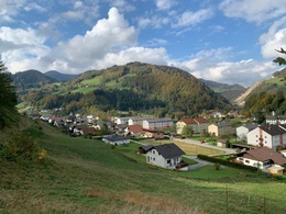
panoramic view: Some Views
Paths covering:
Asphalt, Gravel, Other
powered by TOURDATA
Short description:
Short walk to the Moarhof
Short walk to the Moarhof
Quality of experience: ***
Recommended season:
- January
- February
- March
- April
- May
- June
- July
- August
- September
- October
- November
- December
Properties:
- Round trip
- Scenic
- Family friendly
Directions:
The route leads from the centre of the village up to the Forestry Museum, from there eastwards on the forest road via the Moarhof to the natur.Bank
Tip:
Reichraminger Holzknecht Museum
Starting point: Ortszentrum Reichraming
Destination: natur.Bank.weg Moarhof
Accessibility / arrival
Parking
Local centre Reichraming
Getting there
Arrival by train:
The Ennstalbahn runs between Linz and Weißenbach-St. Gallen.
Arrival by car:
From Salzburg/Linz: A1 motorway exit Enns-Steyr > B115 into the Ennstal
Vienna: A1 motorway exit Haag > B42 > B122 > B115 into the Ennstal
From Passau: A8 Passau > Wels > A1 to motorway exit Enns-Steyr > B115 into the Ennstal
From Graz: A9 Pyhrn motorway > motorway exit Klaus > Grünburg > into the Ennstal
Parking
Local centre Reichraming
Most economical season
- Spring
- Summer
- Autumn
- Early winter
- Deep winter
Please get in touch for more information.
Stadtplatz 27
4400 Steyr
Phone +43 7252 53229 - 0
E-Mail info@steyr-nationalpark.at
Web www.steyr-nationalpark.at/
https://www.steyr-nationalpark.at/
Interactive elevation profile
Create PDF
Tour-Details
Starting place: 4462 Reichraming
Destination: 4462 Reichraming
duration: 0h 19m
length: 1,2 km
Altitude difference (uphill): 54m
Altitude difference (downhill): 1m
Lowest point: 349m
Highest point: 402m
difficulty: easy
condition: easy
panoramic view: Some Views
Paths covering:
Asphalt, Gravel, Other
powered by TOURDATA
